It was finally time for a local hike. Local being without the presence of dispiriting airports and TSA agents giving some of us older fellas the bewildered look when they find the unexplained low hanging fruit in our trousers - the final drop of the bags as it were. So with the agreement from the potential "plum smugglers" we decided on a place we had heard of that was quite usual for our latitude. A high plateau of sylvan glory, windswept meadows and mucky bogs that is more likely to be found much farther north in say Canada, eh. We chose the Dolly Sods, West Virginia.
To add to the fun of this trip, and challenge our already suspect footing as wobbly old men, the area, affectionately call the Sods, is also an abandoned WWII artillery range (complete with un-exploded ordinance). Perhaps the Wild in Wild and Wonderful West Virginia lends itself to this motif. So in keeping with our mootable standard of hiking only in wilderness areas, the Dolly Sods Wilderness area fit the bill. 17,000 acres of wilderness, crumbly sandstone formations, sphagnum bogs, and the very remote possibility of loosing a leg to something other than a bear.
The Sods is only about 3 hours from the DC area, compliments of the great Appalachian Corridor H project. A project designed to bring more people into harms way by quicker access to the leg-breaking ski resorts of Canaan Valley and the sphagnum that may hide the waiting antique ordinance. I found myself lost in net neutrality one evening in my study of the words sphagnum and ordinance. But in the end, sphagnum won the short lexical battle in my bean sized brain - what was sphagnum anyway? Apparently it can be bisexual. I googled it so it must be true. To that extent - it is just peat moss.
Flavor Flav and Uncle Milty
For this trip, Flyrod and I gathered some new
characters, not from central casting, but from the land of misfit adventurists. The first new member –
and newly named for this trip – is our dual citizenship (Irish and American) anglophile
who shall now be called - Flavor Flav -
Yeahhhhhhhhhhhh boyyyyyyyyyyyyyyyy! Back in the mid
80s when the group Public Enemy formed -one notable rapper front man named William Drayton (Flavor Flav) surfaced with a large
clock on a chain around his neck - it was his trademark look; that and his lavish gold teeth grill-work. Our "William" Lawrence, who had recently completed a prestigious
outdoor survival course at Georgetown University, arrived fully
prepared to help us all find our way by sporting a large compass around
his neck. Enough said.
 |
| Flavor Flav 🕓 |
The next new member was Uncle Milty. For you younger
readers, Uncle Milty historically refers to Milton Berle – a cross dressing
womanizing actor-comedian with a devilish smile from TV’s golden era. I don’t know
if there is more to add. Our Milt already came with his nickname, his own devilish smile, and similar rapacious behavior. Plus, he did mention that he had on silk socks - so it is a befitting name. He is a great one to have on the trip - always full of cheer and great stories.
 |
| Uncle Milty - Fuzzy in the head as always |
So there we were, a band of misfits ready to
dance with the devil and bisexual sphagnum with ordinance at our feet. Our plan was not too difficult. Similar to our
other hikes, we would park a car at one end, the Blackbird Knob (TR511) trail head, and end the trip the next day with another car parked at the
southern end of Red Creek (TR514) trail head. All the trails in the Sods
come with both a name and a number. Since there are a manifold of 19 trails
to chose from, all crisscrossing the Sods in every direction and variation
of interests, it is a great place for every type of hiker.
The Hearts of the Old and Young
I think the frisson of excitement for the trip was probably the thought of pre-hike festivities in the small town of Davis, WV. It is filled with inescapable places for food and drink. There are also four or maybe now five microbreweries in Davis and Thomas combined. Thomas being just a couple miles farther west of Davis. I will give a shout out to Hellbenders and Sirianni's Cafe for food. Two of the notable micro-brewers are Stumptown Ales and Mountain State Brewing - both have good beers and great vibes. Lucky for us, our base camp staging area would be a night's stay at a wonderful townhome in Deerfield Village owned by Bloodworm - of C&O towpath fame.
Having this base camp would give us the opportunity to get an early start the next day provided we kept our imbibing to a reasonable limit and, as we did, run from the local elderly woman who stared at us "young" bucks with malevolent mountain lust. In one establishment, a coven of them expressed their desire to make us their young swains. This stood the hair up on my neck. I found myself somewhere betwixt panic and fear and I am not embarrassed to say I ran like a beaten dog. I think it was their loose fitting upper dentures, the wispy scent of menthol deep-heating rub, and the cigarette smell emanating from their teddy bear embroidered sweaters. The poverty level of their desirability was well below what was allowed by state law, even in WV. Flyrod and Uncle Milty had a good laugh at my expense and were shocked I wanted to leave. In the meantime, Flavor Flav had his own autumn- spring relationship budding with the octogenarian running the Tucker County information desk - he beamed all weekend regaling us with the knowledge she held - he was anxious to see her again after the hike. 😲
Plan of Attack
The group decided at the onset that we would split
when Red Creek (TR514) – northern terminus – intersected with the east
to west Blackbird Knob (TR511). Flyrod and Flavor Flav would head south
and find a nice spot at the Red Creek camping
area a mile or so away – I think they had a rap song they were working on.
Red Creek camping area is very popular and the best sites are for those who
arrive early. Uncle Milty and I would continue west toward Timberline
Ski resort that borders the western
side of the Sods then pick up Breathed Mountain (TR553) and circle back up (TR514) to find them. We wanted some more miles and to enjoy the open
meadows of the upper Sods.
 |
| Topo and Trail Map - We were on 511 - Right to Left |
 |
| Flyrod reviewing the maps. |
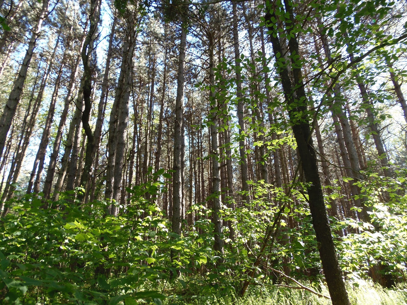
The trails of the Sods are very well marked – and
well worn. It is a popular area. There is a lot of water here so
expect some mud on the trails. It is after you encounter some mud that
you will experience the clever destructiveness
of hikers who don’t want to get their feet wet or muddy. There usually
are two trails in low areas – they are either both dry or one, the
lowest one, will be filled with muddy water and a variety of detritus
the hiker has found to throw into the mud; used
as an archipelago to step across to the other side.
Campsites are also very abundant. There are really
nice ones, with great tent sites, tucked into the shade with oversized
Flintstone style furniture assembled from immense chucks of rock. And
of course the requisite fire pit as the center
of the universe. Flyrod and Flavor Flav would find us such a site.

 |
| Nice Campsite under the trees near a stream (Alder Run) |
 |
| Flyrod with his new hiking mascot along for the ride - Baby Squatch |


 |
| Right Fork Red Creek |
 |
| Flavor Flav navigating across Right Fork Red Creek |
 |
| Right Fork Red Creek |
Continued...Part 2