START HERE - THE LOST COAST PART 1
Continued from Part 15 - Kings Peak
After a successful summit of the formidable Kings Peak - we gathered up our kit and got ready to head down to look for a place to spend the night. We knew we could not possibly make it down to the beach - I suppose we could have if we pushed hard, but we did not want to get carried away. Our only dilemma was our water supply was running a bit low. We wanted to make dinner and wash up and we looked at our supply and determined it would be best to fill up.
High up on the mountain in September there are no reliable sources of water. The old expression water and shit flows downward is very true. We studied our map and determined the best course of action - this was all Whitey's idea - was to take the trail down to Maple Camp to load up on water. Well the trail down to the camp and water supply from King Crest was .7 miles - and about 600ft down. It had to be done - a down and back scramble - so it t made no sense to take the full pack load down to the spring. We dropped our packs.
It is a liberating feelings to go without any kind of load on our backs after several days of burden - like a skinny dipper who understands there will be no wet cloths to contend with. So...if we wanted to make a run for the border - this would be the way to make quick progress. We had only our water filter and every container we had to hold water. It didn't take too long to make it down - and the cool spring at Maple Camp was tucked into a trap or ravine next to the trail formed by a curve in the mountain above. The water was cold and refreshing so we drank with gusto and took a couple gallons back to the top of the trail. Overall we spent about 90 minutes with this venture - but it was worth it.
 |
| The gang - one last time at the top |
 | ||
| Shelter Cove in the distance - fantastic view from up here. |
 |
| < - Kings Crest it is! |
 |
| Kings Peak - from whence we came... |
 |
| Scale and perspective - we are so small. |
 | |||
It may have snowed... |

 |
| Whitey preparing his tent site. |
 |
| As Whitey says - for the ladies. Camera just could not capture scale so it did not focus well. |
 |
| Flyrod - note laundry line to hang the smelly stuff. |
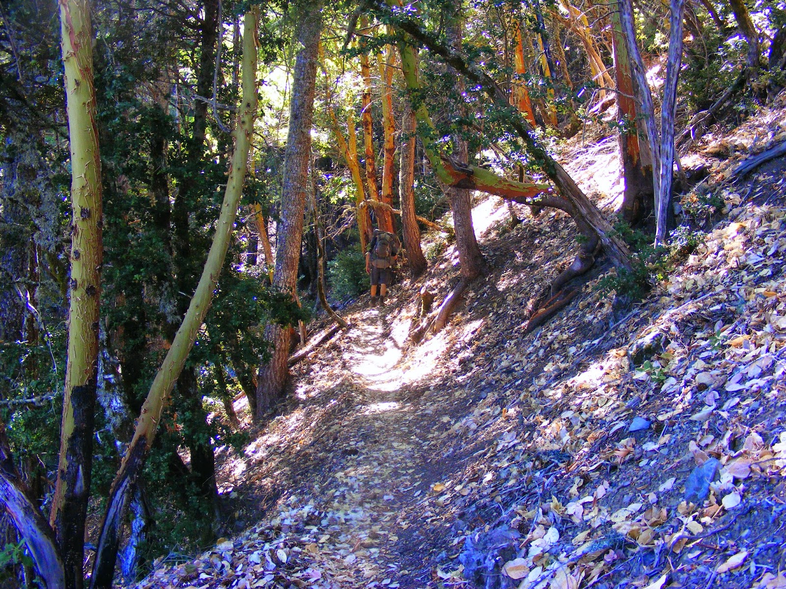
We made camp on King Crest trail - a few miles and 900ft vertical down from the peak to near Saddle Mountain. Easy hike by most standards but I could not wait to stop - every step was excruciatingly painful and I felt at any moment my knee would buckle. So we happened to find a nice flat switchback on the road that was perfect - it overlooked the ocean through the trees and I was able to set up a spot under a nice live oak tree.

Tonight - dinner would be Orzo pasta, Sausage and Chicken - it was very good!! We all crashed hard just after 8:30. Later that night I awoke to see a light bobbing offshore - a fishing boat had taken residence by the Buck Creek confluence with the ocean.
WARNING!!!!! - How blog got its name.
 |
|


Part 17 - The Lost Coast Trail - Day 4 - Buck Creek Descent and a Drug Problem
No comments:
Post a Comment